Field expedition to Gepang Gath glacial lake in Himachal’s Lahaul focuses on early warning systems, risk assessment

In light of the devastating glacial lake outburst flood (GLOF) event at South Lhonak Lake in Sikkim during last monsoon season, the National Disaster Management Authority (NDMA), under the Ministry of Home Affairs, Government of India, has initiated comprehensive studies to develop early warning systems for potentially vulnerable lakes across the Himalayan States.
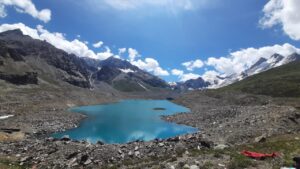
Gepang Gath is a large glacial lake in the Chandra basin of the western Himalayas in the Indus river basin of Himachal Pradesh. Falling in Lahaul region of Himachal Pradesh, it has evolved from a small supraglacial lake into a large proglacial lake.

As part of this initiative, the Himachal Pradesh State Disaster Management Authority (HPSDMA) has embarked on several key activities, including identifying a lead technical agency (LTA), prioritising early warning systems and mitigation strategies, conducting field expeditions to assess high-risk lakes and involving the armed forces and ITBP in monitoring efforts.
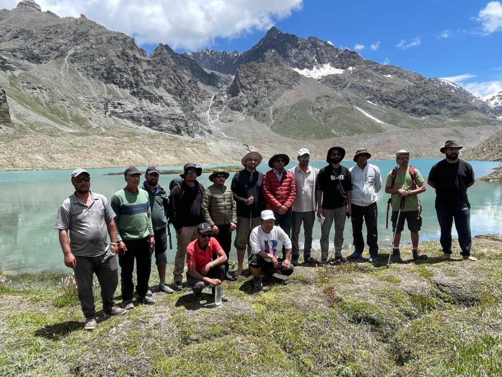
From July 24 to 26, 2024, the District Disaster Management Authority (DDMA) of Lahaul & Spiti conducted a detailed field expedition to Gepang Gath glacial lake. The expedition was led by the Deputy Commissioner of Lahaul and Spiti, Rahul Kumar, and included the following representatives from various agencies Sankalp Gautam, AC to DC; Aniket Maruti Wanve, DFO, Forest; Kamlesh Kumar Sharma, DGRE; Vikram Garg, Deputy CWC, Chandigarh; Kamlesh Parwar, (N&W) CWC; Dr Bhanu Partap, NCPOR; Er Sanju Bodh, JSV; Dr Krishan Chand, HPSDMA; Avtar Singh, HPPWD; Er Rohit Kumar, JSV; Bhupender Paul, Forest; Dr Mohan, PHC, Shansha; Tanzin, 2Bn ITBP Kullu; Dr Mohan, Health; Nitin Sharma, DDMA; Kalzang C Dunny, DDMA; Arun Mharpa, DDMA; Prakash, DDMA; Gagan Pradeep, Agriculture and Mohan Lal, ABVIMAS.

The team conducted an extensive survey of the Gepang Gath glacial lake, evaluating various critical aspects such as the lake’s width and length, barrier strength, moraine/dam height and width, water discharge, outflow width, water level, geology, valley slope, glacier attachment, probability of cloudbursts, landslides, avalanches, rock falls, moraine ice core, lake depth, downstream slope, valley morphology, presence of hydropower stations, infrastructure, turbidity and nearest habitations.
In addition, the Central Water Commission (CWC) team examined the lake’s outlet and assessed the feasibility of establishing a telemetry station for early warning systems. The HPSDMA, in collaboration with the district administration of Lahaul & Spiti, conducted drone-based GIS mapping of Gepang Gath Lake.
The lake, located at an elevation of approximately 4,098 metres above sea level (coordinates 32°31’N 77°13’E), was mapped to produce high-resolution images for detailed analysis. The data will be crucial for assessing potential risks, planning mitigation measures and enhancing disaster preparedness in the region.
The National Centre for Polar and Ocean Research (NCPOR) is studying the Gepang Gath glacier and its proglacial lake to understand their responses to climatic and non-climatic factors. During the expedition, the team surveyed the frontal area of the lake and the moraine, conducted drone surveys for high-resolution imaging, and prepared for a bathymetry survey with IIT-Bombay for volumetric analysis. Additionally, the Jal Shakti Vibhag collected samples to assess the lake’s turbidity.
This expedition marks a significant step towards ensuring the safety and preparedness of communities living in high-risk areas. The comprehensive data gathered is expected to play a pivotal role in developing effective early warning systems and implementing necessary mitigation strategies to prevent future catastrophic events.


